

Chippewas of Kettle and Stony Point exercise jurisdiction over historical trail
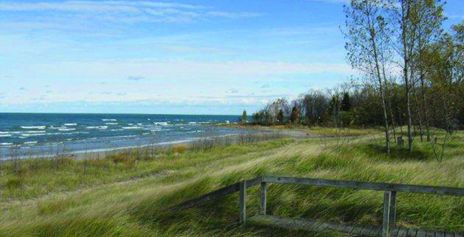
CHIPPEWAS OF KETTLE AND STONY POINT FIRST NATION (December 5, 2014) – Residents and visitors in the vicinity of Ipperwash Beach will notice significant changes to the beach accessibility. On December 5, 2014, the Chippewas of Kettle and Stony Point First Nation have removed the barriers to the areas of Ipperwash Beach up to the boundary of the former Ipperwash Provincial Park.
“Access to the historical trail along the beach between the two communities of Kettle and Stony Point First Nation have been opened to the public once again” announced Chief Tom Bressette. Improved accessibility to all sections of the Ipperwash Beach had been a part of the go forward plans for the Ipperwash Beach Management Strategy which began to be implemented in May 2014. In recognition that the First Nation had never been consulted by any level of government when the documented historical trails were barricaded, Chief Bressette went on to state “Our First Nation has chosen to exercise our jurisdiction in reopening this travel route once again for the benefit of our First Nation members in addition to all residents and visitors to our communities.”
The Ipperwash Beach Management Strategy will continue to be reviewed and implemented over the course of the next several years. The documented historical trails along the beach and through the forested areas between the two communities of Kettle and Stony Point are an integral part of the go forward plans, and discussions will continue on the potential for the development of a heritage/culture centre for education and cultural purposes.
The Chippewas of Kettle and Stony Point First Nation is located along the shores of Lake Huron, 35 km northeast of Sarnia, Ontario. It has two land bases, one of which was the focus of a half century long land dispute that would have repercussions across the country.